Before we draw anything, we spend a full day on the site with our client. It is the cheapest day of the whole project and often the one that changes it the most.
What a map cannot tell you
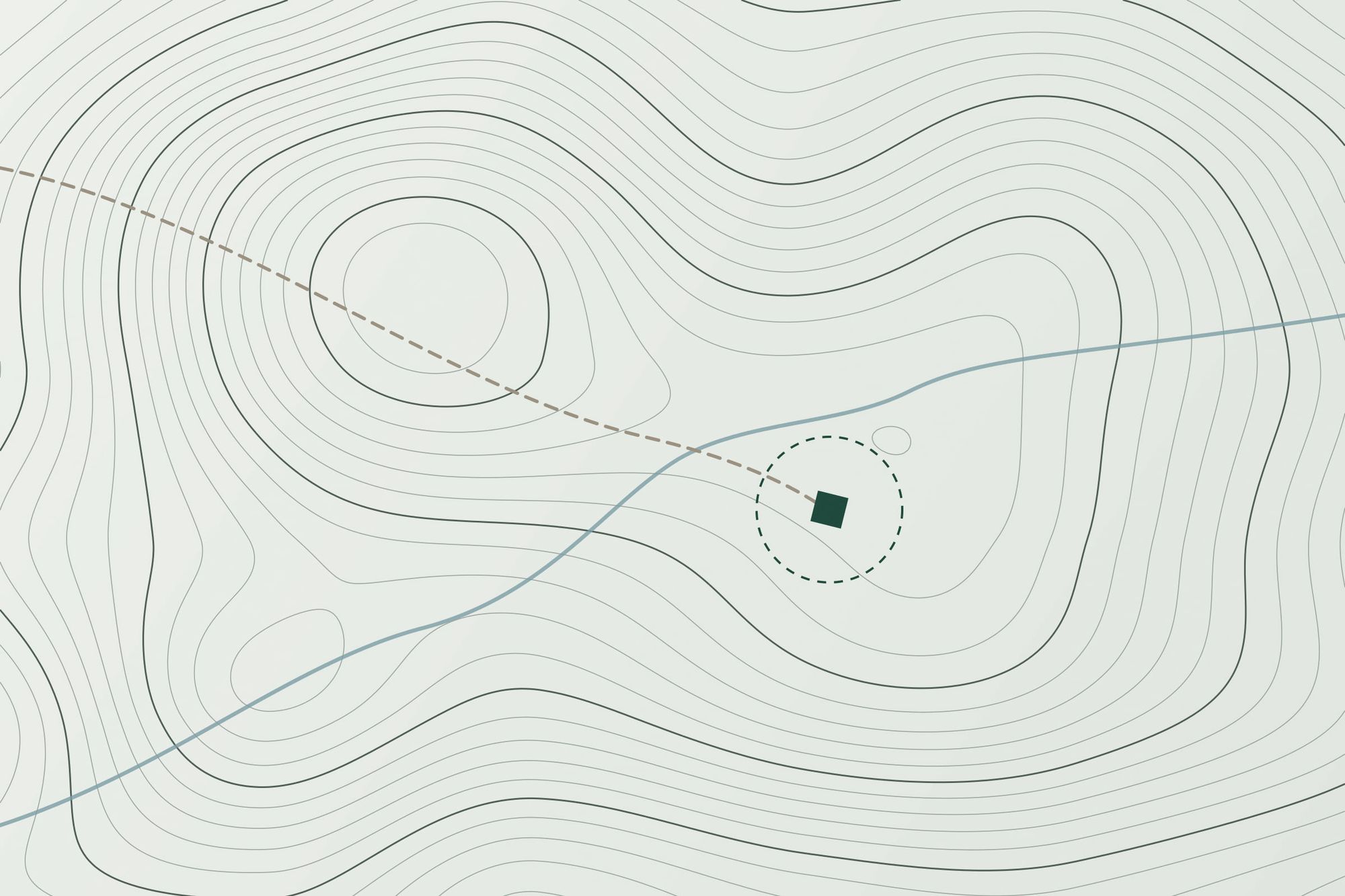
A survey map shows the terrain, the boundaries and the existing trees. It does not show where the wind comes from in February, where snow settles after a storm, where the water runs in heavy rain or how loud the road is in the morning. You only learn those things by standing there.
What we record
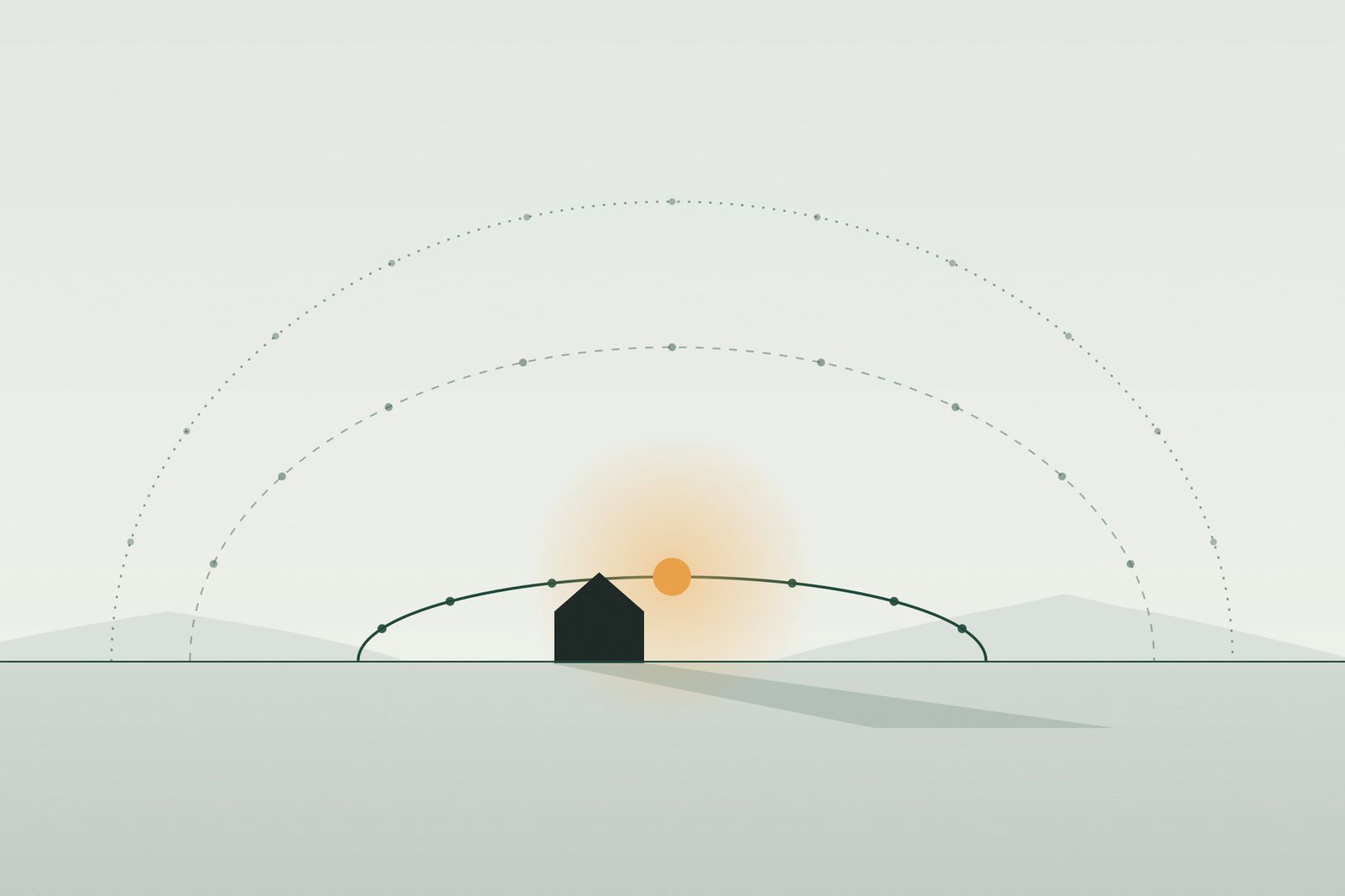
- Sun and shadow at different times of day, with a compass and a phone app
- Views from the places where people will actually sit, not just from the best rock
- Wet ground, rock outcrops and trees worth keeping
- Access for construction vehicles, which often decides more than the architecture does
The first model
Back in the studio we build a simple terrain model at 1:200 and place a few blocks of foam on it. The first meeting after the site visit is always around that model. It is much easier to discuss where the house should sit when everyone can see the slope.
Bring the right people
On steep or exposed sites we invite a structural engineer, and sometimes a contractor, for part of the day. An early opinion on foundations or crane access can save months later on.